SAN ANTONIO — The amount of rainfall we've seen over the past few months has been incredible, but it has also caused a lot of problems.
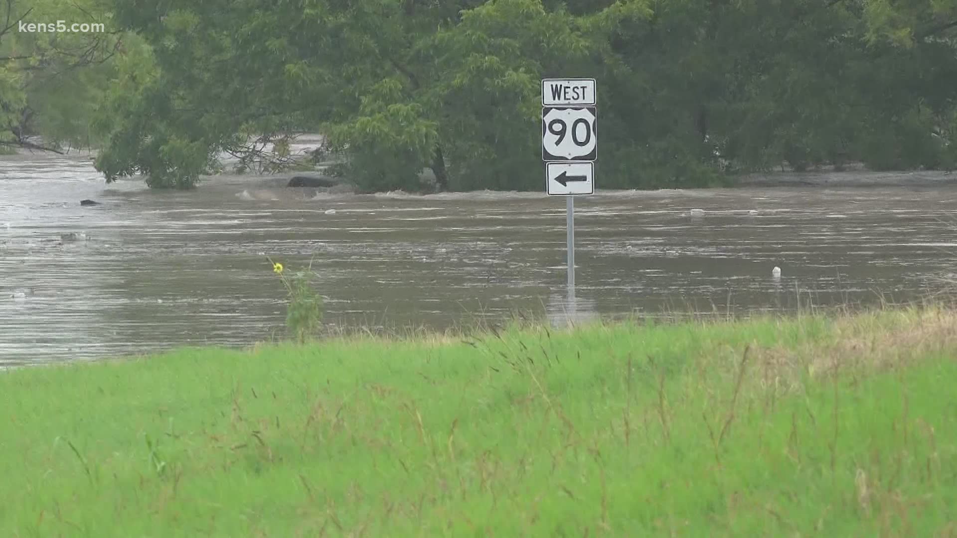
Neighborhoods near Leon Creek by Highway 90 are known to be prone to flooding. On Friday the nearby frontage road was open to commuters because the rain hasn't been heavy enough to flood the roadway.
But it was a different story on Tuesday. That morning, the road was closed as the creek easily swelled, forcing several inches of water to rush over the road—and making it look like residents needed a boat to get around rather than a car.
The afternoon saw a huge difference, with the roadway not looking like a lake but a raging river. SAWS officials say the rain ended up flooding a work site, which is why water could be seen shooting up like a geyser.
Northwest Bexar County was socked with the most rainfall, with some areas mainly between 1604 and Loop 410 picking up the most precipitation; nine inches in the last 48 hours, with almost all of that falling on Tuesday.
Residents further to the south around Highway 90 didn't see as much rain. But to the south is where the worst of the flooding occurred. The reason has to do with terrain and the direction the water flows in waterways, and it all built up further south.
"In northwest Bexar County we have a lot of the creeks – Helotes Creek, Leon Creek – and all of that starts to funnel down through these creek systems into the Medina River which is really where we saw the most flooding," said Aaron Treadway, lead meteorologist with the National Weather Service in New Braunfels.
So far this year, the San Antonio Airport has seen over 19 inches of rain. The average for the entire year in the Alamo City is 32 inches. So even if we didn't get any more rain until mid-August, we'd still be running at above-average rainfall levels.

