
SAN ANTONIO — Showers and thunderstorms have mostly exited the Hill Country and Bexar County after bringing upwards of half an inch of rain to regional communities, according to the NWS.
Some pockets of heavy rainfall fell along the east side of Bexar County, bringing flooding concerns and a Flood Watch that remains in effect until 5:15 p.m. Thursday.
A Flood Watch is also in effect for Atascosa, Bastrop, Caldwell, Guadalupe Lee and Wilson County until Thursday evening. Flooding caused by excessive rainfall is possible through the evening.
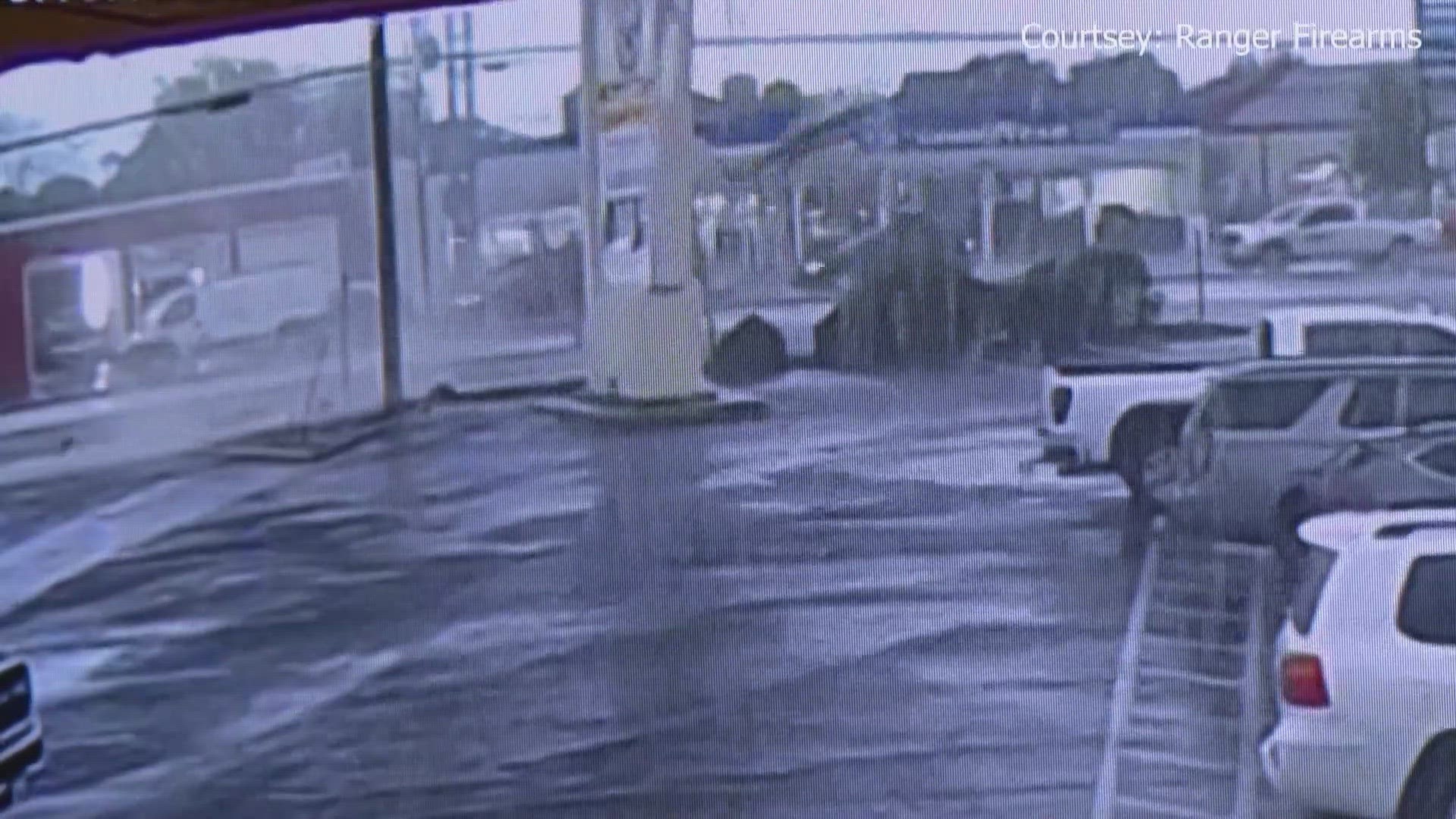
Earlier on Thursday morning two potential tornadoes may have touched down in south-central Texas. This threat could remain through around late afternoon along the I-35 corridor as storms move northeast.
A Tornado Warning was also in effect for Hays and Comal County earlier this morning but ended by 9:45 a.m.
KENS 5 viewer Mike Scardina shared this video of a possible tornado in Seguin on Thursday morning around 9 a.m.

Sharon Breckenridge Thomas shared this photo of what looks like a funnel cloud, possibly a tornado, near Fort Sam Houston on Dickman Road around 8:13 a.m. Thursday morning.


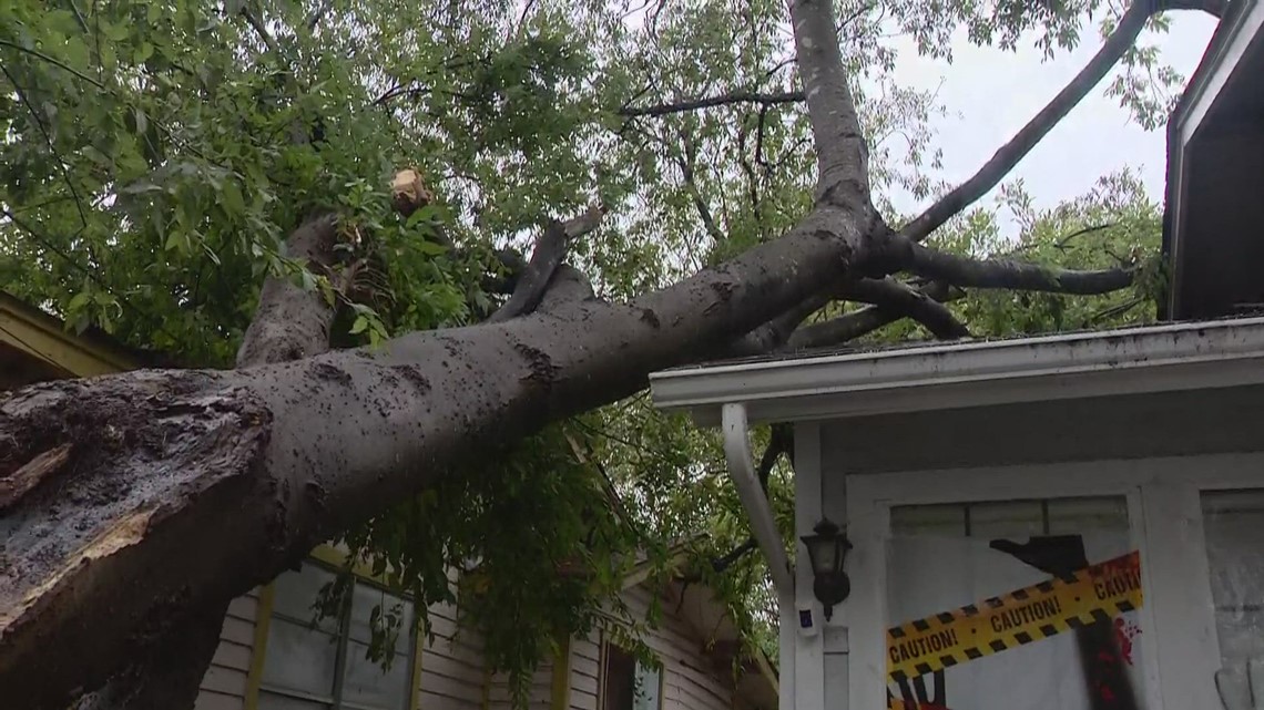
Storms moved through quickly Thursday morning, leading to reports of wind damage and knocked-down trees across parts of Bexar County.

By Thursday afternoon, a drier airmass started moving through the area, dropping rain chances to around 20%. An active weather pattern continues on Friday and drops again for the weekend.