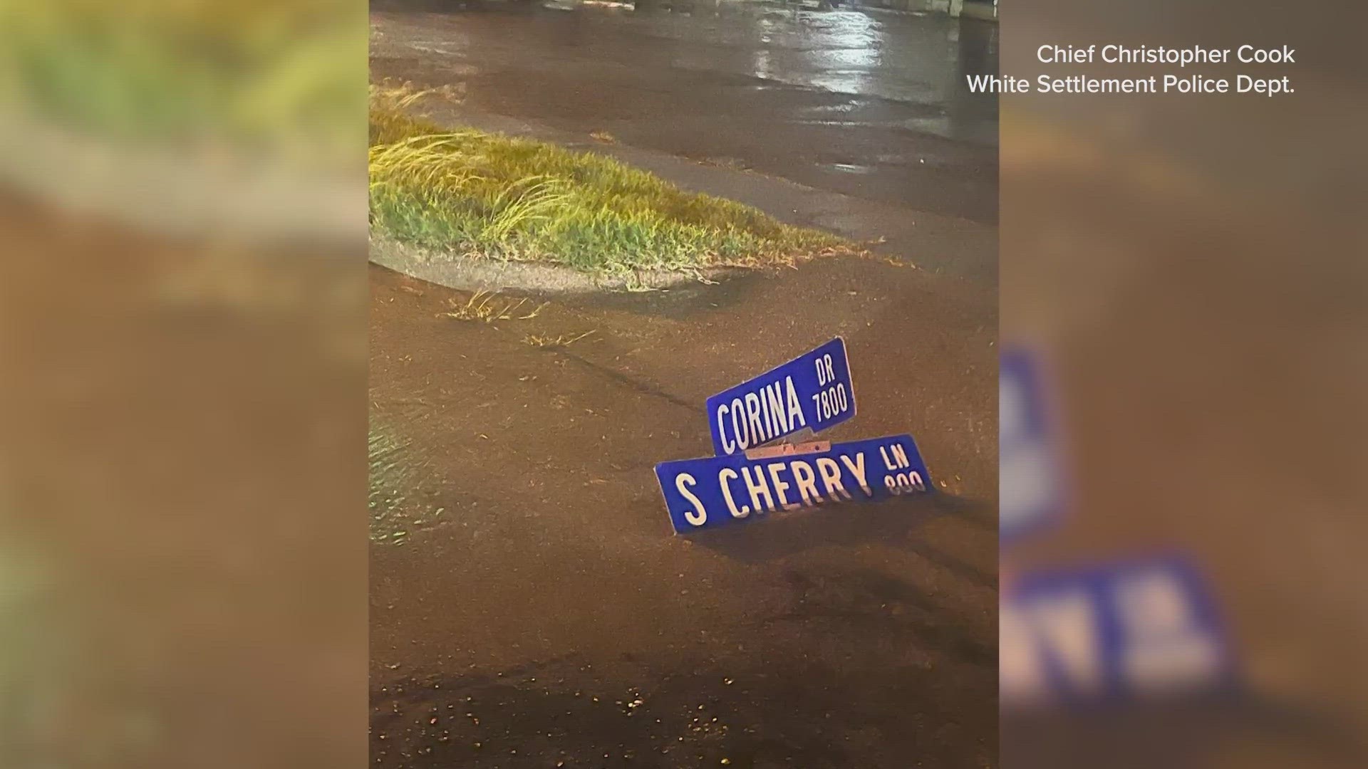
DALLAS — Wednesday night's heavy storms brought rounds of torrential rainfall across North Texas, and while the rain was much-needed, it also caused flash flooding.
The storms were expected to clear out of most of North Texas by early Thursday, but slick roads and flood conditions could still cause impacts.
North Texas was under a flash flood warning Wednesday night, as a strong system of storms packing lightning, heavy rain and the threat of severe weather and tornadoes rolled through the area.
Video from North Dallas at Hillcrest and Royal showed high water and flash flooding around 10 p.m. Wednesday:
And here was another look at how heavy the rain was coming down in Dallas in the 9 p.m. hour Wednesday night:
Rainfall totals were already in the 1-2 inches range for most of Dallas by 11 p.m. Wednesday, and they were approaching 3 inches in north and northeast areas of the city, according to the city rainfall totals map. And the rain was still coming down past 11 p.m., though the storm was system was beginning to shift more to the south and southeast of Dallas.
But Dallas wasn't the only city seeing heavy rain and the threat for flash flooding. The areas south and southeast of Dallas, in Ellis and Kaufman counties, were getting dumped on with rain as the storms moved through North Texas.
At 10 p.m., WFAA Chief Meteorologist Pete Delkus gave an update where the storms were heading and how much rain they were packing:
This is a developing story overnight. Check back for more information as we get it.

