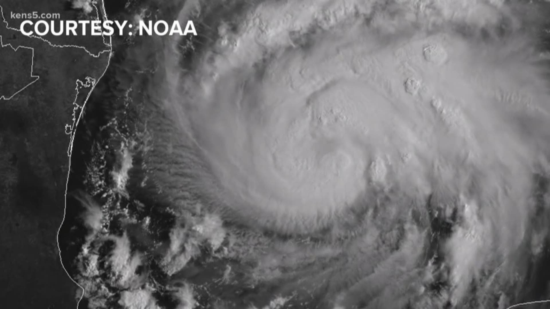
The official start of hurricane season is June 1 but we've already got one storm to contend with. One tool to help forecast those storms is used hundreds of times every season, thousands if it’s a busy one.
It’s called a dropsonde, an instrument that measures data that is crucial to forecasting both the track and intensity of hurricanes and tropical storms. Even before the start of the season, many have already been used thanks to Subtropical Storm Alberto.
"The technology has changed simply from the aspect of we are now able to provide more accurate hi-temporal resolution data that really feeds some of the numerical models that are related to tropical cyclones hurricane forecasting," said Dr. Kevin Petty, chief science officer for Vaisala, which manufactures over 2,000 dropsondes a year. "When we talk about where is the hurricane going to make landfall and how intense that hurricane is going to be at the time of landfall, these instruments are vital for allowing us to know that information."
The dropsonde is released from a hurricane hunter aircraft that flies through the storm. As it falls through the atmosphere and the storm, it measures parameters like wind speed, wind direction, temperature, relative humidity, and barometric pressure before splashing down in the water.
Hurricane hunters dropped eight dropsondes in one mission this weekend in the eastern Gulf of Mexico. These tools are essential in forecasting large and dangerous storms, including Hurricane Harvey. Dr. Petty told us,
"The research shows that dropsondes improve our track forecast anywhere from 15 percent to 20 percent, in some cases even more than that,” Dr. Petty noted. “On the intensity side, we see improvement generally from 10 percent to 15 percent."
Most recently, many dropsondes are used off the West Coast in atmospheric rivers. The goal is to help improve our daily weather forecasts, even for us here in South Texas.

