


SAN ANTONIO — IMPACT DAYS: KENS 5 is not forecasting any Weather Impact Alert Days in the next 14 days.
Even though it will be hot, temps will not be close to heat advisory criteria. This pattern is not conducive to rainfall, so no days over the next two weeks are of interest for inclement weather.
Forecast Summary
Well, it's the last week of summer! Temperatures will feel summer-like, and the heat will not go anywhere anytime soon.
Afternoon highs will trend in the middle to upper-90s most days this week. Keep in mind, the September average is around 90 this time of month.
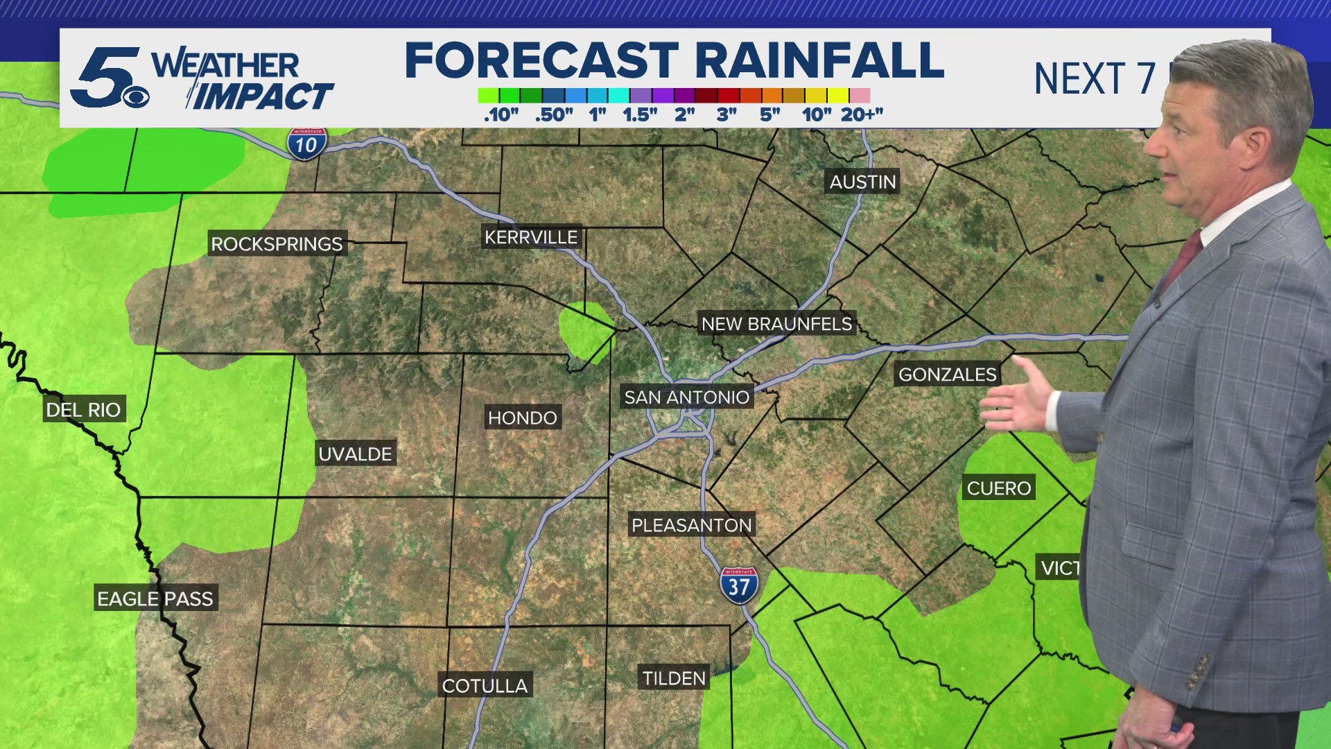
Will there be a few stray afternoons showers this week? Yes, but most of this will be to our south and extremely isolated in coverage.
The heat will be the big story this week as the first day of Fall is on Sunday. Temperatures won't reflect fall weather.
While some rain will be around, the forecast calls for less than a tenth of an inch area wide. That is EXTREMELY dry.
It doesn't look like the forecast will change significantly over the next 10 days. Models suggesting a weak front sometime early next week.
This will drop highs closer to average into the upper-80s.
Also, models are suggesting a developing tropical storm in the gulf of Mexico late next week. This is still a long way out, so updates will come daily.
Otherwise, enjoy the last week of summer everyone!
More about Weather Impact Alerts

You can download the KENS 5 app in the App Store or Google Play. You also can follow KENS 5 on Facebook, YouTube, X (formerly Twitter) and Instagram for updates on the weather.
Follow the KENS 5 Weather Team on social media: