SAN ANTONIO — IMPACT ALERT DAYS: Monday, November 18 and Thursday, November 21.
REASON: Isolated storms Monday morning, near freezing temperatures in the Hill Country early Thursday morning.
Forecast Summary
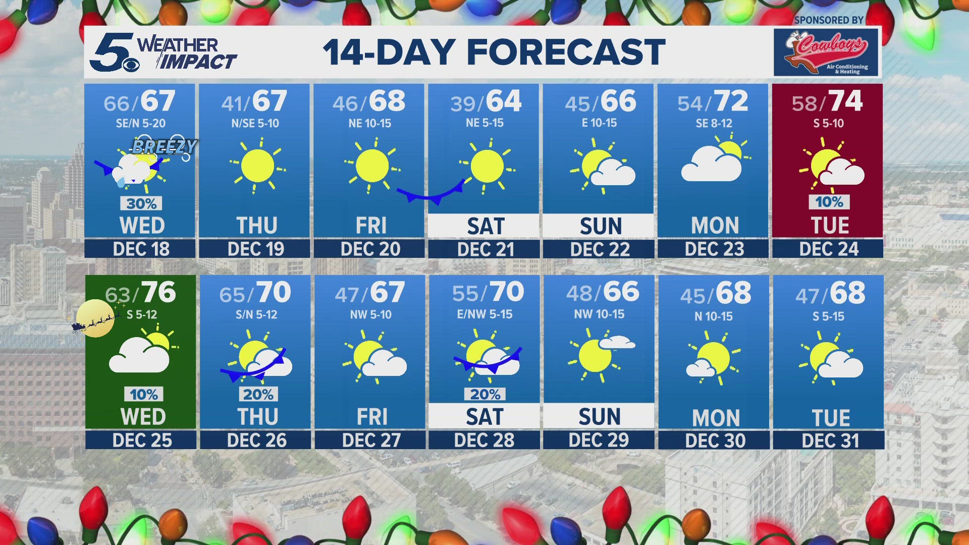
Finally, a full week of cooler temperatures! In the meantime, Sunday will feature more unseasonal warmth.
We will start off Monday morning with scattered showers and a few storms.
This is when slowdowns may occur! Plan ahead and leave early!
As cold front number one pushes through around 8 AM, this will spark off a few isolated thunderstorms where some may be strong to severe.
The highest threat will be east of San Antonio. This will be the first initial push of cooler temperatures.
After 10 AM, clouds and rain clear to mostly sunny skies Monday afternoon. Daytime highs will be a little cooler in the 70s with a breezy wind.
A reinforcing shot of colder air arrives Wednesday morning! This will keep highs below average for the first time in a while!
Daytime highs in the 60s and by Thursday morning, lows will fall into the upper-30s and lower-40s.
For Thursday morning, we're expecting near freezing temperatures in the Hill Country. Not a widespread freeze, but it will be possible.
Temperatures will stay near average into the weekend with a warming trend into next week! Have a great week!
Then, forecast models are hinting at another cold front moving through just before Thanksgiving! Setting up a beautiful end to November.
Let's hope it brings some rain along with it. Have a great week!
More about Weather Impact Alerts
You can download the KENS 5 app in the App Store or Google Play. You also can follow KENS 5 on Facebook, YouTube, X (formerly Twitter) and Instagram for updates on the weather.
Follow the KENS 5 Weather Team on social media: