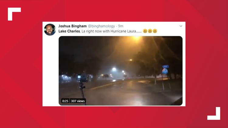
LAKE CHARLES, La. — Hurricane Laura hit the Louisiana coast late Wednesday night, bringing with it 150 mph winds and a deadly storm surge.
LIVE VIDEO NOW: We are streaming live TV coverage from KBMT in Beaumont in the video player on this page
The storm had sustained winds of 150 mph when it hit the southwest Louisiana coast. It landed in Cameron, Louisiana.
Laura also brought along a catastrophic storm surge that will lead to flash flooding in southeast Texas and southwest Louisiana.
Here are some videos of what the storm looked like when it made its way up to Lake Charles, which is about 50 miles north of Cameron. The winds are expected to prompt several tornado warnings for areas in the storm's path. Destructive winds are expected more than 100 miles inland.
From satellite images, Laura has the signature of a classic hurricane with a well-defined eye surrounded by deep convection. The storm has continued to strengthen throughout its journey through the Gulf of Mexico. The storm will weaken fast as it makes its way over land.
Most tracks have Laura moving over northwestern Louisiana on Thursday, across Arkansas on Thursday night and over the Mississippi Valley on Friday before making its way to the northeast United States.
Check back with KHOU.com for more updates as the storm makes its way through the United States.
LIVE VIDEO: We are streaming live coverage from our sister station KBMT in Beaumont in the video player below
Storm surge warnings, hurricane warnings, tropical storm warnings and hurricane watches are in place from southeast Texas to the mouth of the Mississippi River. Floodwaters are not expected to fully recede until several days after the storm.


