SAN ANTONIO — As San Antonio consistently add to the number of 100 degree days in a row, welcomed changes of rain and cooler temperatures are in store for next week. San Antonians will start to see and feel changes as a new weather pattern set in by the end of this weekend allowing room for a front to drop move into the Lone Star State.
This pattern change could bring San Antonians the chance to see rain for multiple days and a near 10-degree drop in temperatures for next week. This means San Antonians can plan for placing that umbrella in the car or by the door as our weather pattern starts to loosen it's grip over Texas.
Here's what San Antonians need to know:
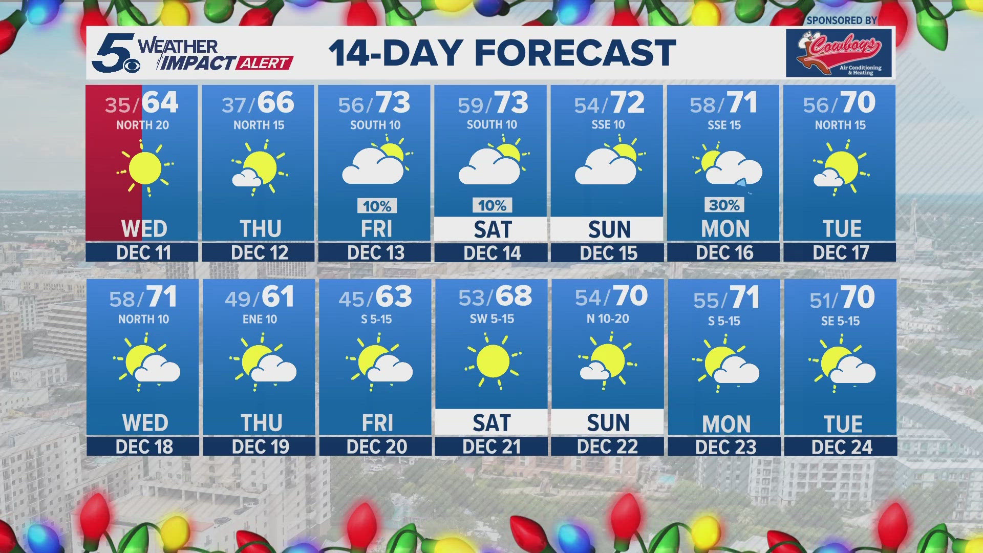
This week - The combination of high pressure and the continuing drought will allow temperatures to soar in the triple digits through the work week. Friday will most likely be the hottest day of the week with high temperatures near 104 degrees.
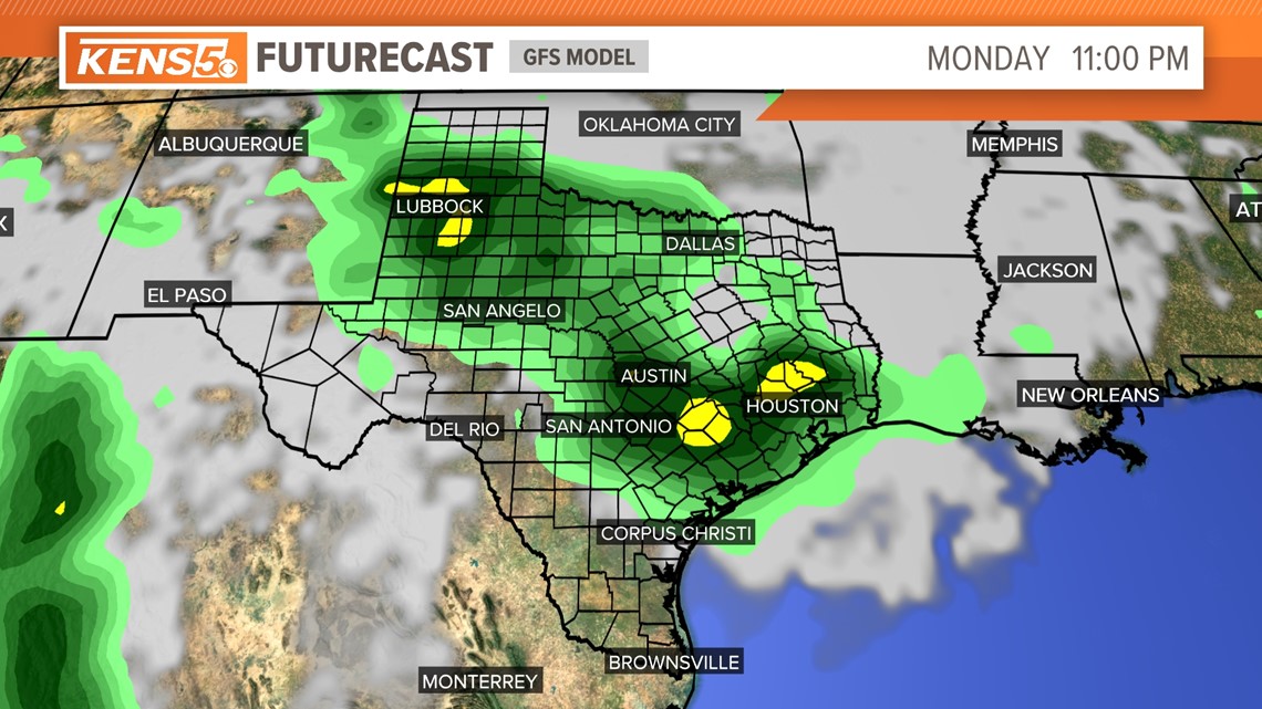
This weekend - The high pressure will back off Saturday as temperatures begin to slightly fall through the weekend. San Antonians will start to notice some changes on Sunday as one weather model shows both Saturday and Sunday night to produce more cloud cover and rain, but nothing too impressive until Monday.


Next week - By Monday a front will stall out near our area allowing for temperatures to lower in the mid 90s. Then by the middle of next week another possible front could move through San Antonio bringing much better rain chances to set up through Tuesday.
This stretch of rain will bring us some of the coolest temperatures we've seen in months!
Although a 7-degree drop in temperatures doesn't seem like much when it's in the 90s, this change is a step in the right direction since the average time to expect cold fronts is around Sept. 17. Back in 2022, the first cold front arrived about a month later than average dropping temperatures in the 70s in mid October.
Of course the middle of next week is 7 days away so we'll continue to monitor this weather pattern but changes look promising.


