SAN ANTONIO — San Antonio's unlucky streak of little rainfall this month may finally come to an end.
Thanks to an upper low, additional moisture and a front the chances of showers and storm activity are more likely by early next week.
This next system will also bring windy conditions and below-average temperatures, including morning lows in the 30s as San Antonians near next weekend.
Here's how much rain San Antonio can expect:
Monday (High 63 and Low 38): Cold temperatures in the upper 30s are expected for San Antonio and below-freezing in the Hill Country around sunrise.
Breezy conditions will increase throughout the day with wind gusts near 20 mph. This in combination with dry air could elevate fire weather conditions for the afternoon.
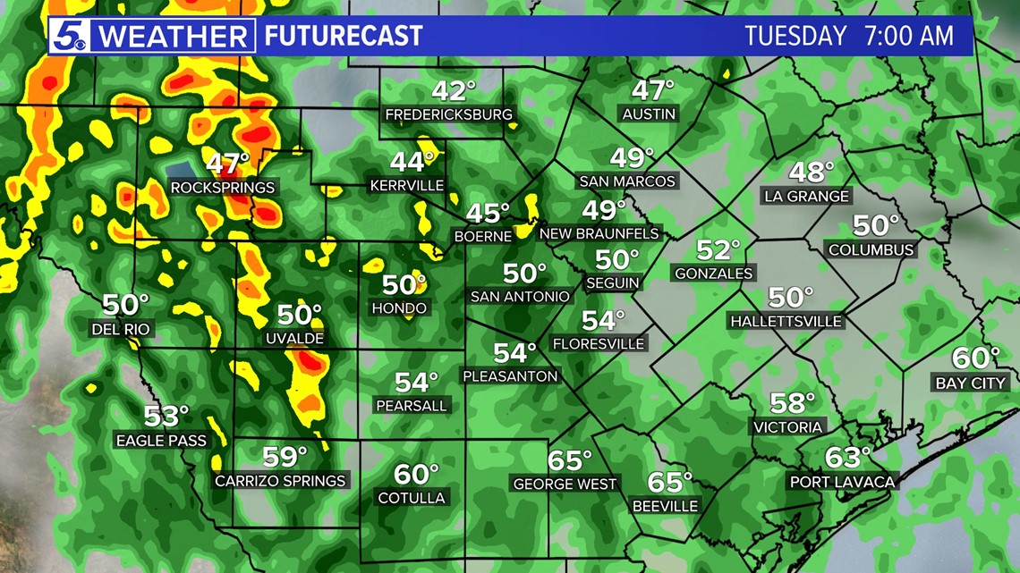
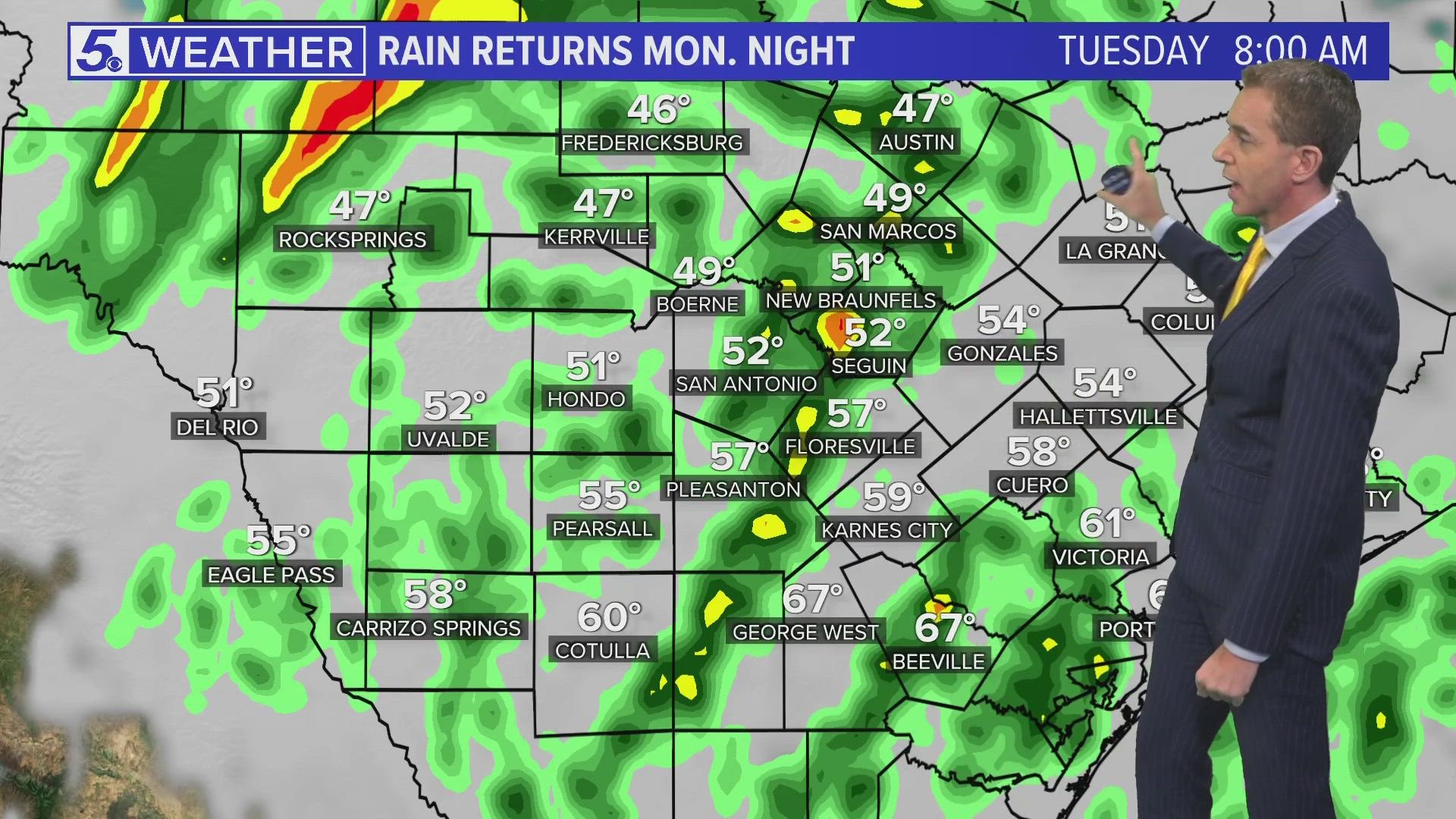
By evening into overnight hours, an upper level low will move closer to San Antonio increasing moisture and rain chances. Overnight into early morning Tuesday, widespread shower activity will occur throughout Bexar County.


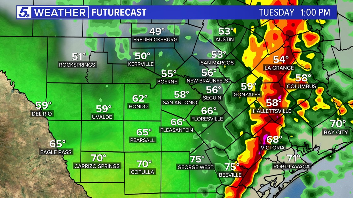
Tuesday (High 64 and Low 45): Best chances for showers and storms will be during the early morning hours and early afternoon hours. Expected rainfall totals for Bexar County are 0.5 to one inch of measurable rain. This will be will be beneficial to the San Antonio area, especially as northern portions of Bexar County are in Exceptional Drought.
Heavier rainfall amounts are expected to stay near the coastal plains. Severe weather is not expected at this time for San Antonio.
Rain should move out of Bexar County by late afternoon with high temperatures staying in the low 60s. Winds will also be gusting behind the front around 30 mph but should decrease by Tuesday evening.


Rest of the week: Below-average temperatures will continue through Friday with afternoon highs only in the low 60s and mornings in the 30s. Especially in the Hill Country Thursday and Friday mornings could be below-freezing.
Dry air will stay in place the rest of the week as well as sunny skies through Friday.
By the end of the weekend a small chance of rain is possible for Sunday.

