SAN ANTONIO — San Antonians have been experiencing record breaking heat for weeks as July and August currently rank in the top five for most consecutive 100-degree days. However, relief from this unbearable heat could arrive soon as changes to our weather pattern are possible next week.
This is due to our familiar high pressure backing away from Texas and tropical moisture levels moving closer to Texas as the tropics could become more active.
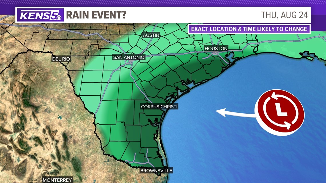
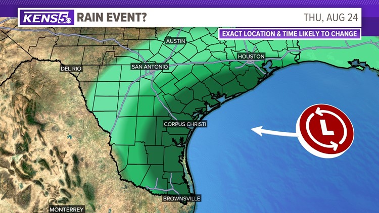
The National Hurricane Center has currently given a 20 percent chance that an area of low pressure could form over the Gulf of Mexico over the next seven days and approach the Texas coastline by the middle of next week. This in combination with the strong high pressure backing away from Texas and toward the Midwest could bring San Antonio better chances of rain than we've seen in awhile.


One weather model shows rainfall to occur around Wednesday and Thursday of next week but since this event is around seven days away this forecast is subject to change.
In addition, it will be interesting to see whether an increase in tropical moisture could break this hot weather pattern as the high pressure has been strong these past couple of months. Currently the model suggests most of the rain that develops will stay along the coastline but San Antonio could see showers as well.
Whether San Antonians see rain or not the city will most likely experience about a five-degree drop in temperatures as early as Tuesday.
We'll continue to monitor chances of rain development in the coming days.


