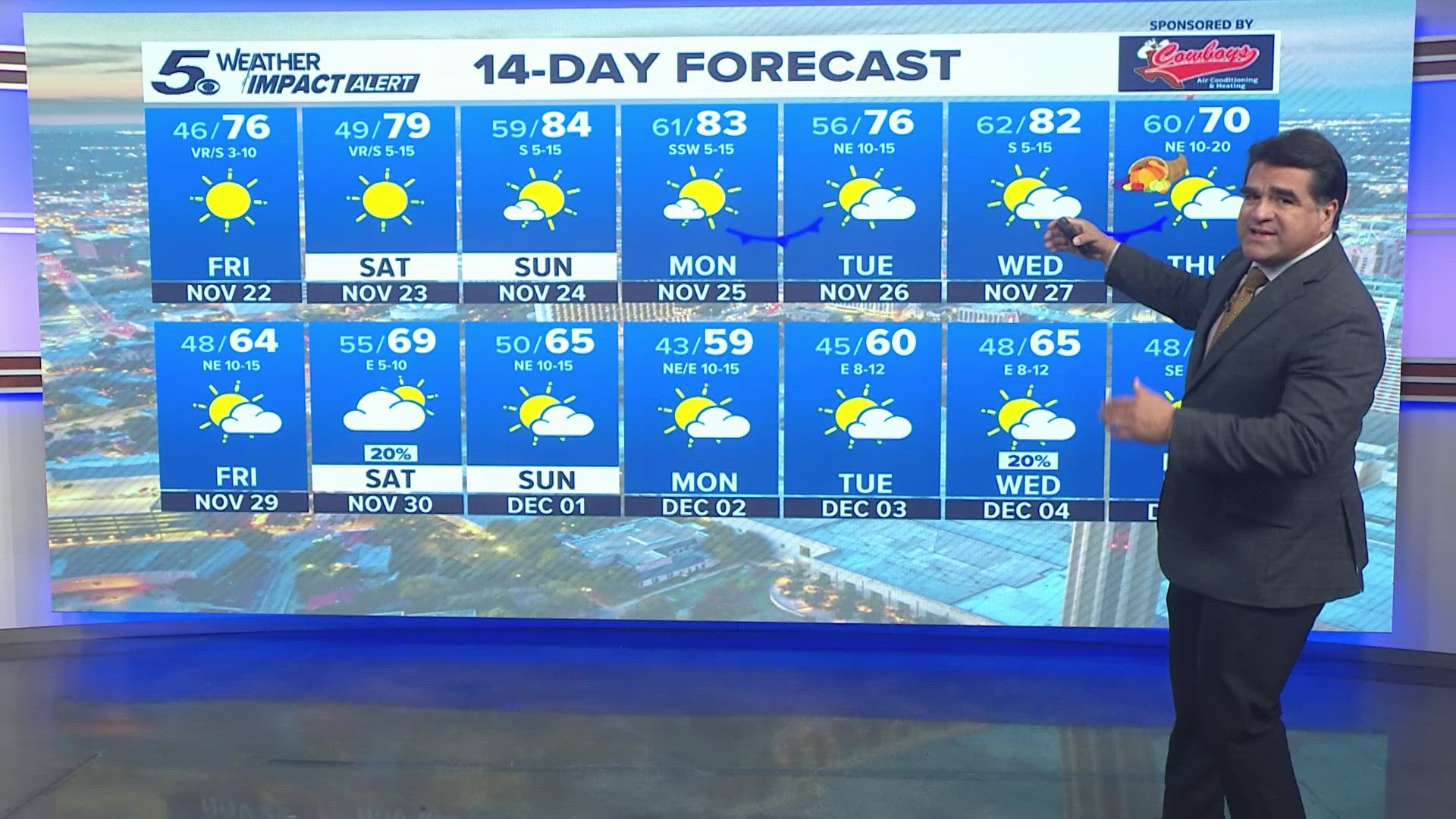
SAN ANTONIO — Strong to severe storms are possible in South Texas for Wednesday night and into Thursday morning.
Throughout a majority of the day on Wednesday we will have just a slight chance for a few brief showers, but as we move into the evening and into the early hours on Thursday, a few strong storms could pass through South Texas.
Much of the stronger storms could impact the Austin area more than our region.

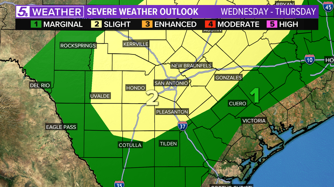
The main risk with these storms will be large hail and damaging wind, but the storms are expected to be isolated. Widespread severe weather is not expected.
During Thursday morning there will be a break in the rain, but more showers and storms with another chance for severe weather is possible for Thursday afternoon and into Thursday night with more widespread rain.

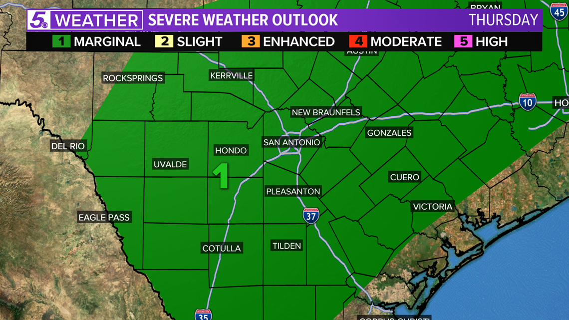
The storms will move in for the late part of the morning on Thursday and continue across the region throughout the afternoon.

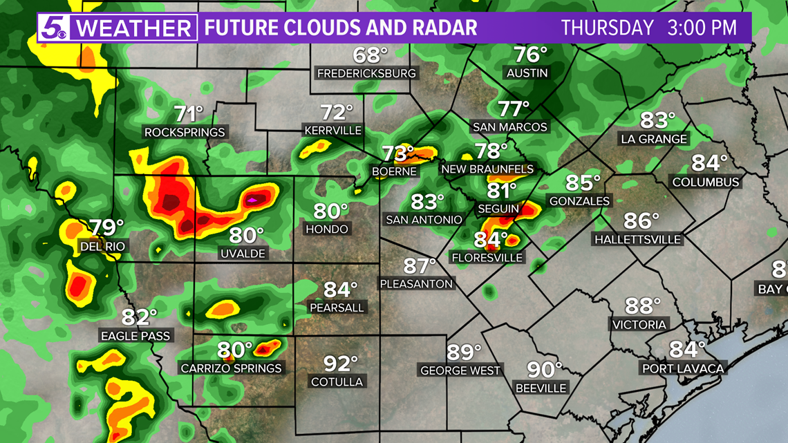
Some of the heavier rain expected will likely be for areas east of I-35 and it will occur in the middle to late afternoon hours.

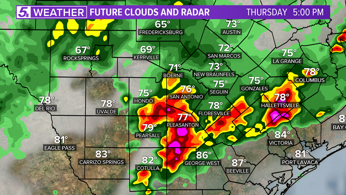
With the 2nd round of storms on Thursday, large hail and damaging wind will be the main threats with flash flooding also being possible.
The severe threat should start to diminish as we move late into Thursday night.
Don't forget you can download the KENS 5 app for the latest news and weather information each day while you are on the go.
PEOPLE ARE ALSO READING:


