TEXAS, USA — Tropical Storm Harold made landfall on Padre Island in South Texas just before 10 a.m., according to the National Hurricane Center. The system, which strengthened into a tropical storm early Tuesday, was expected to bring about 3 to 5 inches of rain to South Texas. Some areas even saw as much as 7 inches of rain, NHC reported. Some tornado warnings were issued across South Texas.
The storm also made conditions dangerous for boaters along the Texas Gulf Coast, but that dangers started to ease by Tuesday afternoon. Some schools and colleges also released students early on Tuesday ahead of the heavy rain.
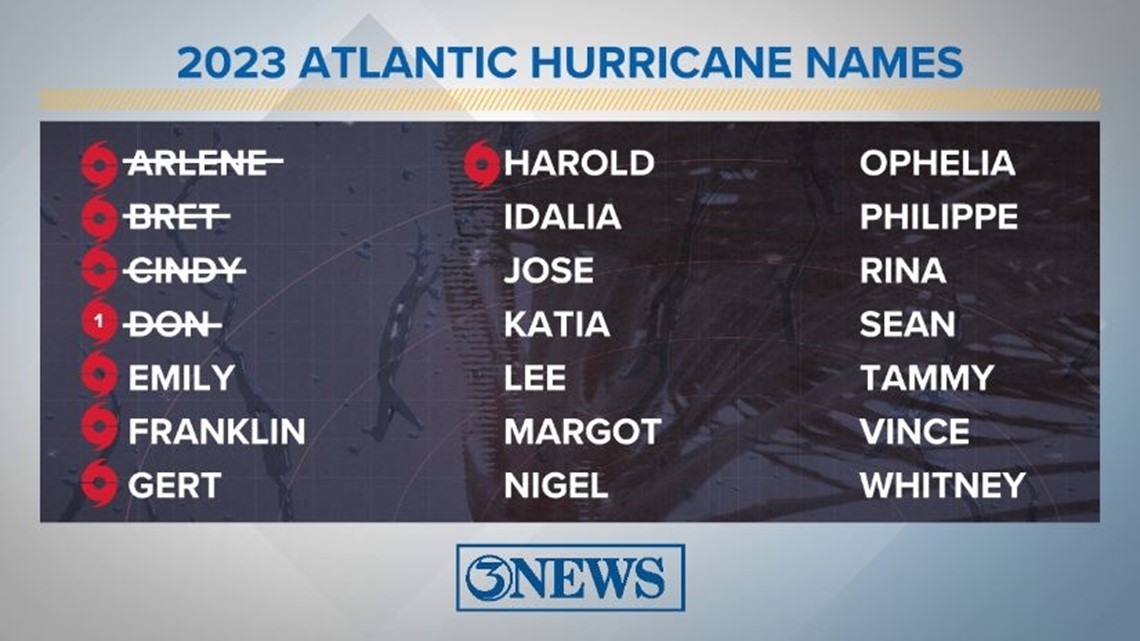
The tropics are very active right now. In addition to Tropical Storm Harold, we have Tropical Storm Franklin, Tropical Depression Gert, the remnants of Post-Tropical Emily, and another area of interest - Invest 92-L - all in the Atlantic.
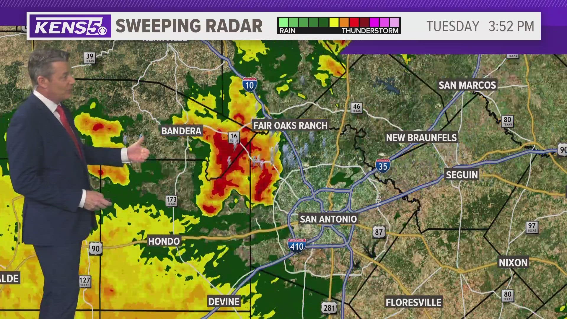
San Antonio impact
Here in the Alamo City, residents saw much-needed showers, some of which were heavy during rush hour. According to National Weather Service (NWS) data, about .87 inches of rain was recorded at San Antonio International airport—about two-tenths of an inch more than the last 11 weeks combined, per NWS data.
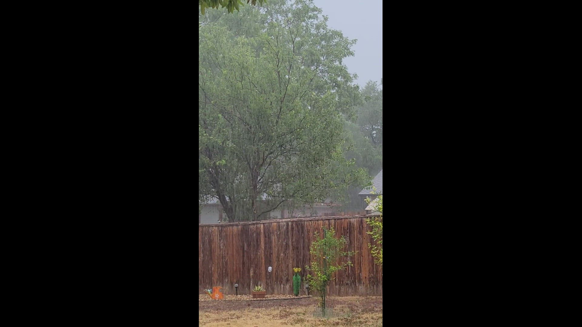
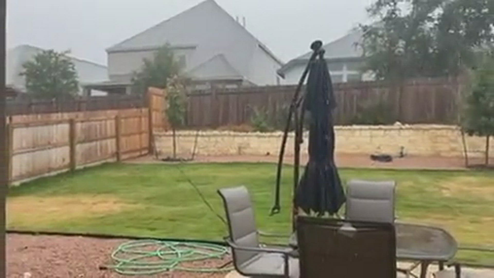
KENS 5 viewers excitedly shared videos and photos with us when they saw the first rain falling in the San Antonio area in almost a month. Take a look at some of their videos below:
The other major ripple effect of the tropical storm: San Antonio's historic streak of 100-degree days ended at 23, after a high of just 91 degrees was recorded Tuesday. It had been over a month since the Alamo City saw a daily high in the low-to-mid-90s.
CPS Energy crews are now working to restore power to some San Antonio households that lost it during Tuesday afternoon's brief storms. At one point in the evening there were about 11,500 customers without electricity, but that number had fallen to just over 2,000 as of 8:30 p.m.
Hurricane Season 2023
August tends to be the time of year activity in the tropics really picks up. Sea surface temperatures are at or above 80 degrees across much of the Atlantic Basin. The position of the Bermuda high plays a big role in where storms will go if and when they develop. Activity is most likely in the Caribbean this time of year.
The Atlantic Hurricane Season runs from June 1 to November 30, with the peak of the climatological peak of the season happening on September 10.
See the full list of Atlantic hurricane names for 2023 below:


