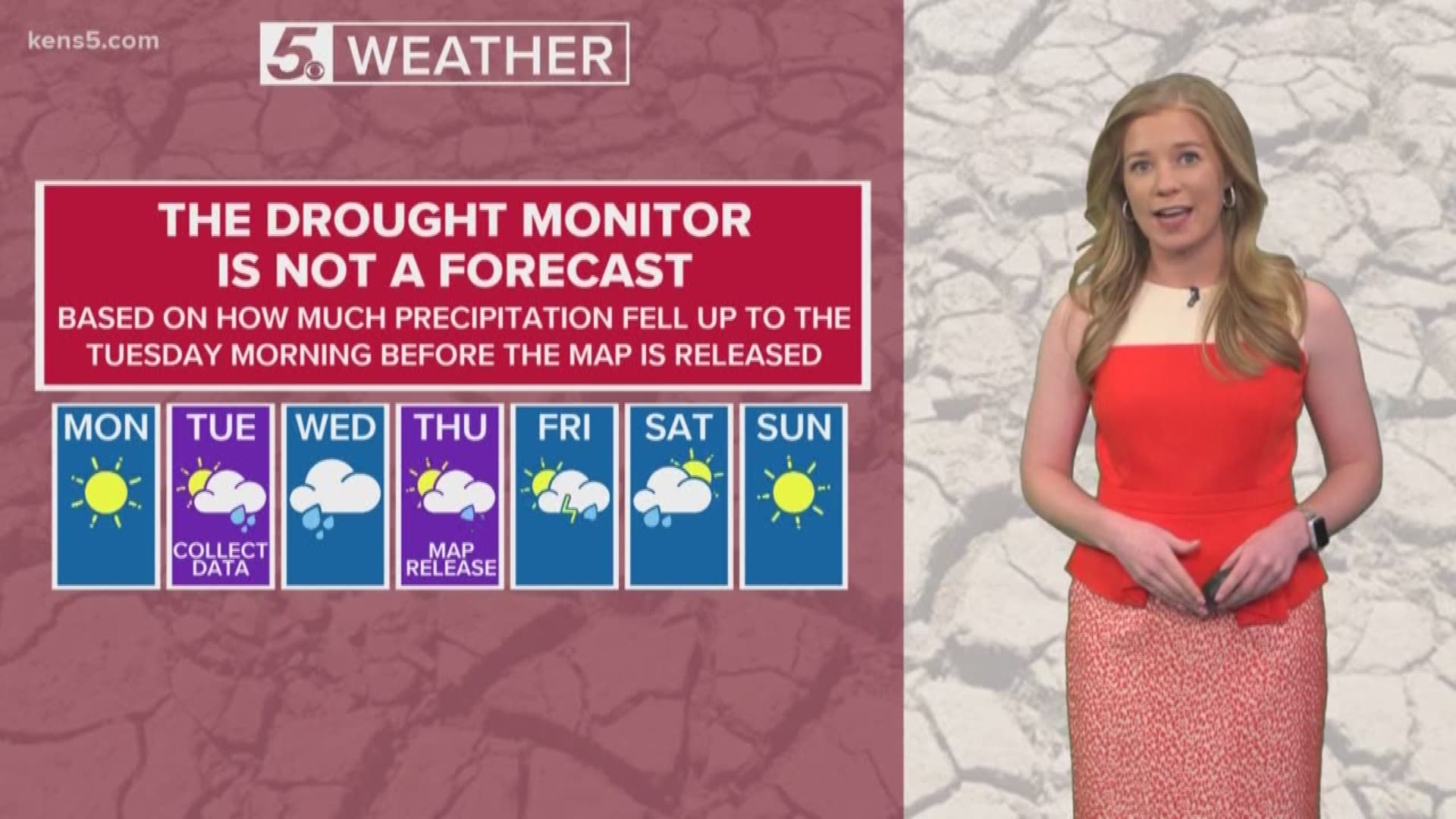
SAN ANTONIO — The drought monitor is released every Thursday morning, and we utilize the drought monitor to see which areas suffer from below normal precipitation.
There are five stages of drought such as abnormally dry, moderate, severe, extreme, and exceptional drought. Each drought stage will have different impacts.

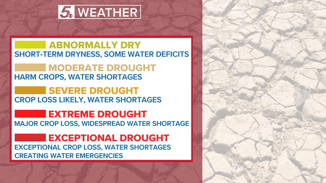
Drought can impact water supply, energy production, agriculture, public health, and wildlife. In fact, dry conditions can also contribute to burn bans and wildfires. Noticing drought before it intensifies can reduce these impacts and save money.
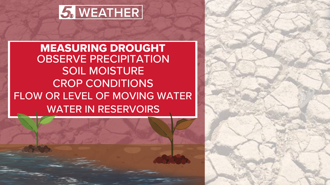
Each week, experts will compare precipitation that week to climate precipitation normal. They will also observe soil moisture, crop conditions, flow or level of moving water, and water in reservoirs.

The National Drought Mitigation Center, The National Oceanic and Atmospheric Administration, and the U.S. Department of Agriculture contribute to the weekly drought monitor.
RELATED:
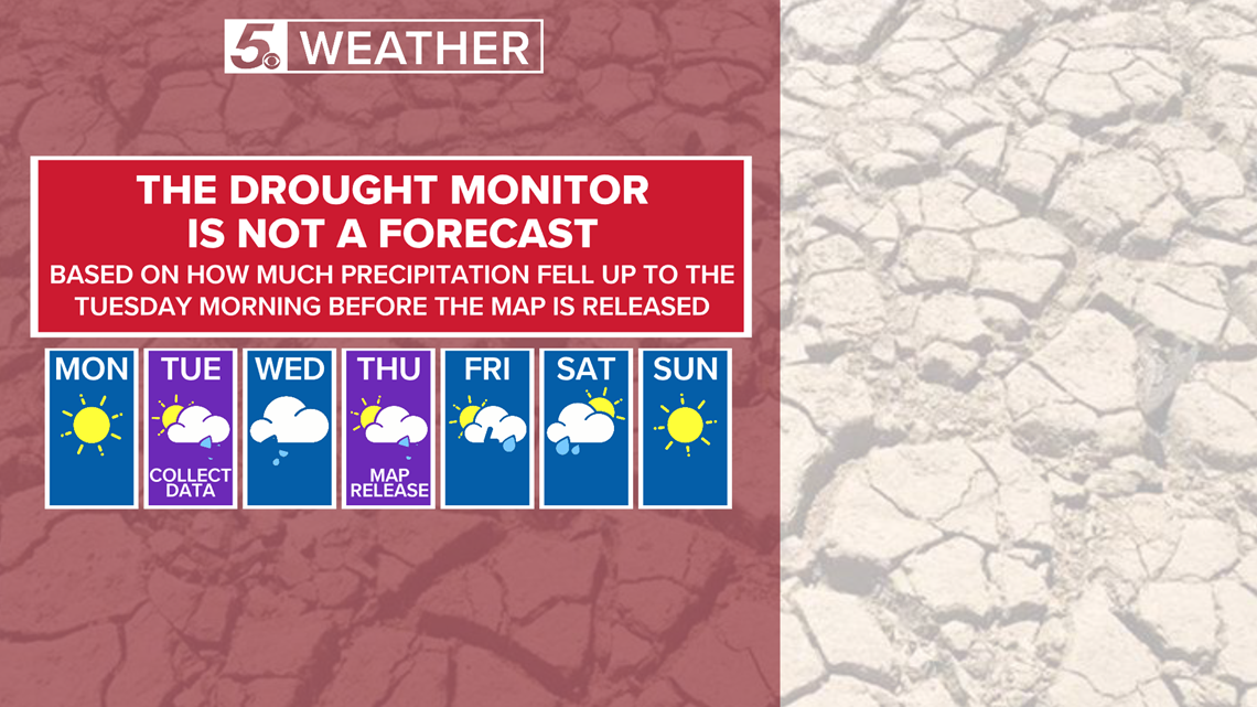
Did you know the drought monitor is not a forecast? It is based on how much precipitation fell up to Tuesday morning before the map is released on Thursday. Experts will have two days to look over data before the drought monitor is released.
If there were to be an excessive rain event on Wednesday, that rainfall would be factored into next Thursday's drought monitor.

As of February 26, 2020, 12.73% of Texas is under severe drought with 2.66% under extreme drought. Some counties in South Texas are suffering from extreme drought.

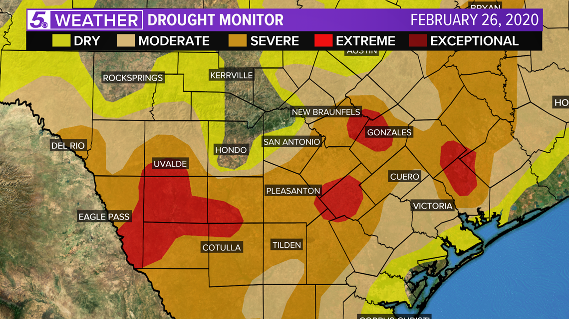
Typically drought will worsen in Texas during the summer months when rainfall is low.
Don't forget you can download the KENS 5 app for the latest news and weather information each day while you are on the go.
PEOPLE ARE ALSO READING:

