SAN ANTONIO — The first day of spring will be Sunday, March 20, and the season's arrival means severe thunderstorms won't be far behind.
For San Antonians, a chance for severe weather is possible over the next five days as moisture and thunderstorm activity will move along a Pacific front.
Here's what you can expect:
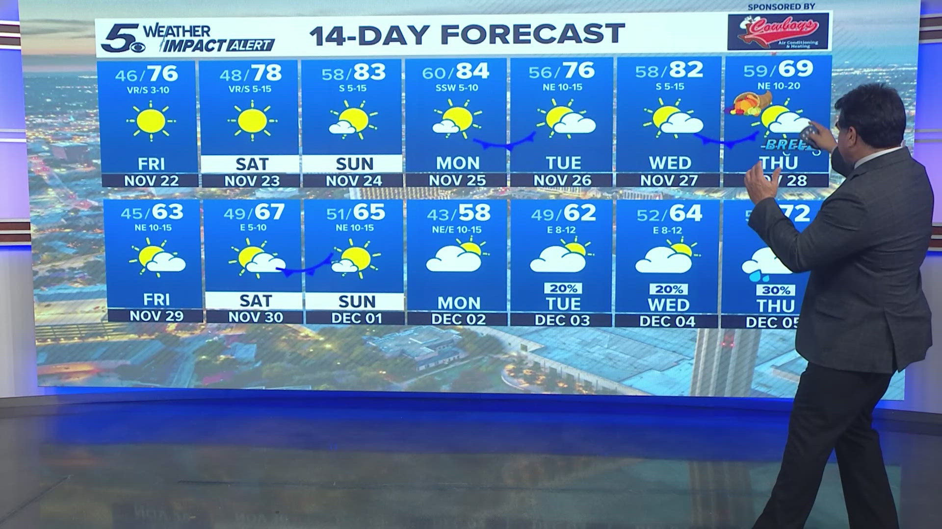
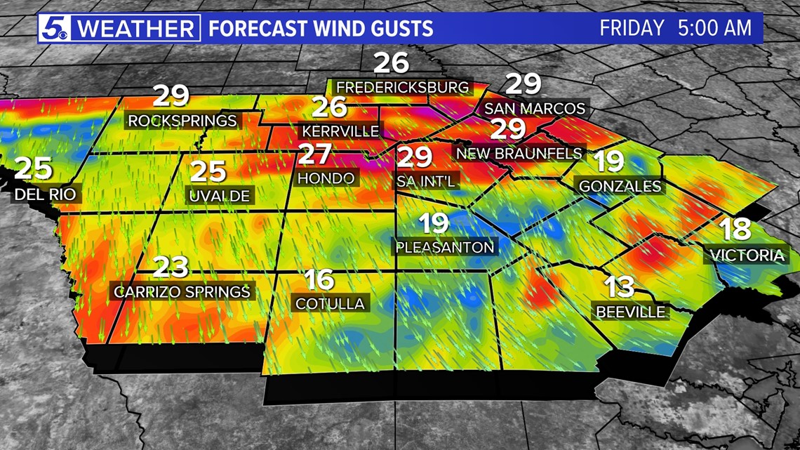
Thursday (High 83 and Low 50): A dryline will move into our region, bringing a possible fire concern as sustained winds of 20-30 mph and gusts of 30-40 mph could sprout up. Dry air behind this boundary will also add to fire concern.
A Pacific front will push through Thursday evening, dropping high temperatures about 10 degrees for Friday afternoon.
Friday (High 74 and Low 48): Another windy day is in store as a surface low moves closer, bringing winds of 10-20 mph and gusts of 30 mph. This could be another fire concern day.
Temperatures will feel more spring-like and closer to average.

Weekend: High pressure builds into our region Saturday morning, allowing for a south breeze and lighter winds. Moisture will start to build in by Sunday night, increasing chances of rain by Monday.
High temperatures will be in the upper 70s, and low temperatures will be in the low to mid 40s.
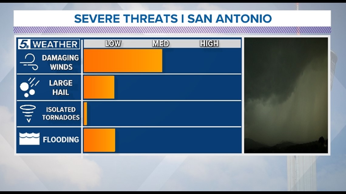
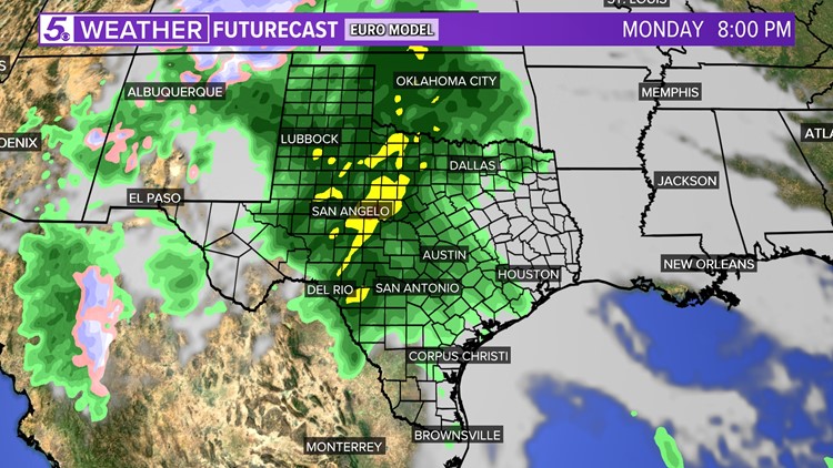
Monday (High 82 and Low 63): Shower and storm development is possible during the day as an upper level low approaches. A Pacific front will also drag across our region Monday evening, likely producing additional showers and thunderstorms. This system could bring the season's first threat of severe weather.

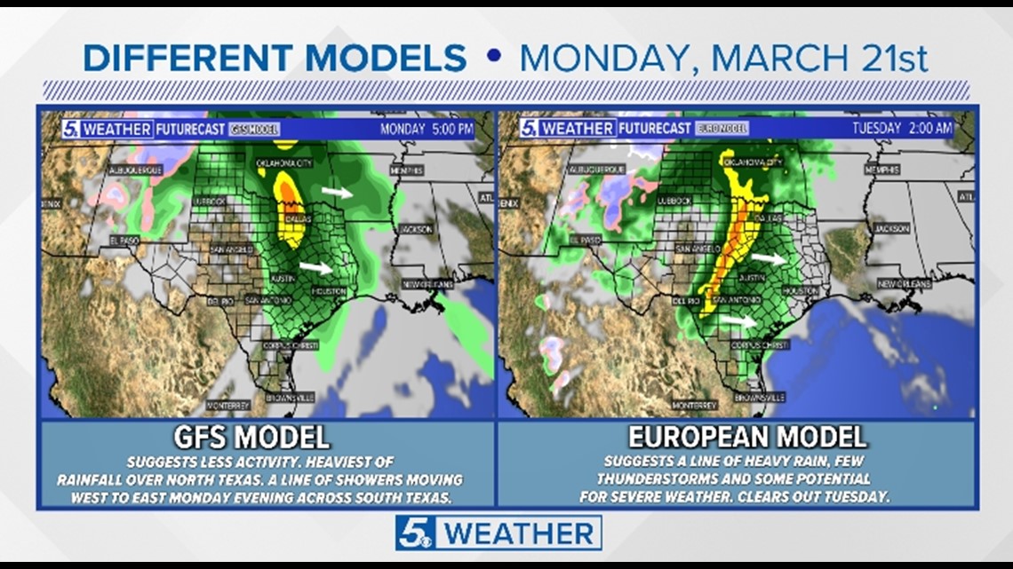
Timing and hazards for San Antonio are still uncertain, but more details will become available as we near closer to the weekend.

