SAN ANTONIO — We had a strong cold front pass through South Texas on Monday morning and behind it, we had a big cool down.
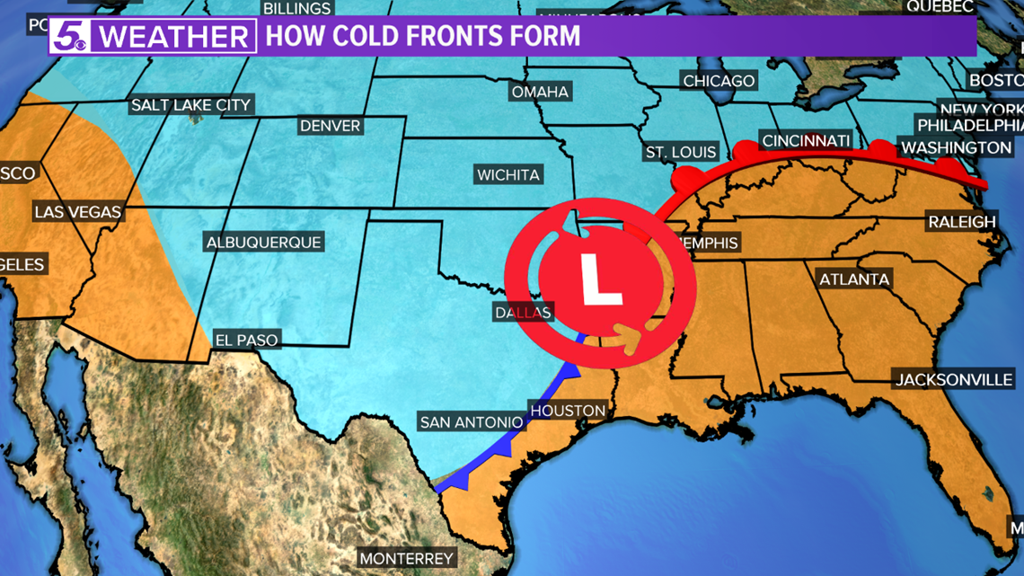
This cold front was part of a big system tracking across the United States we call a mid-latitude cyclone.
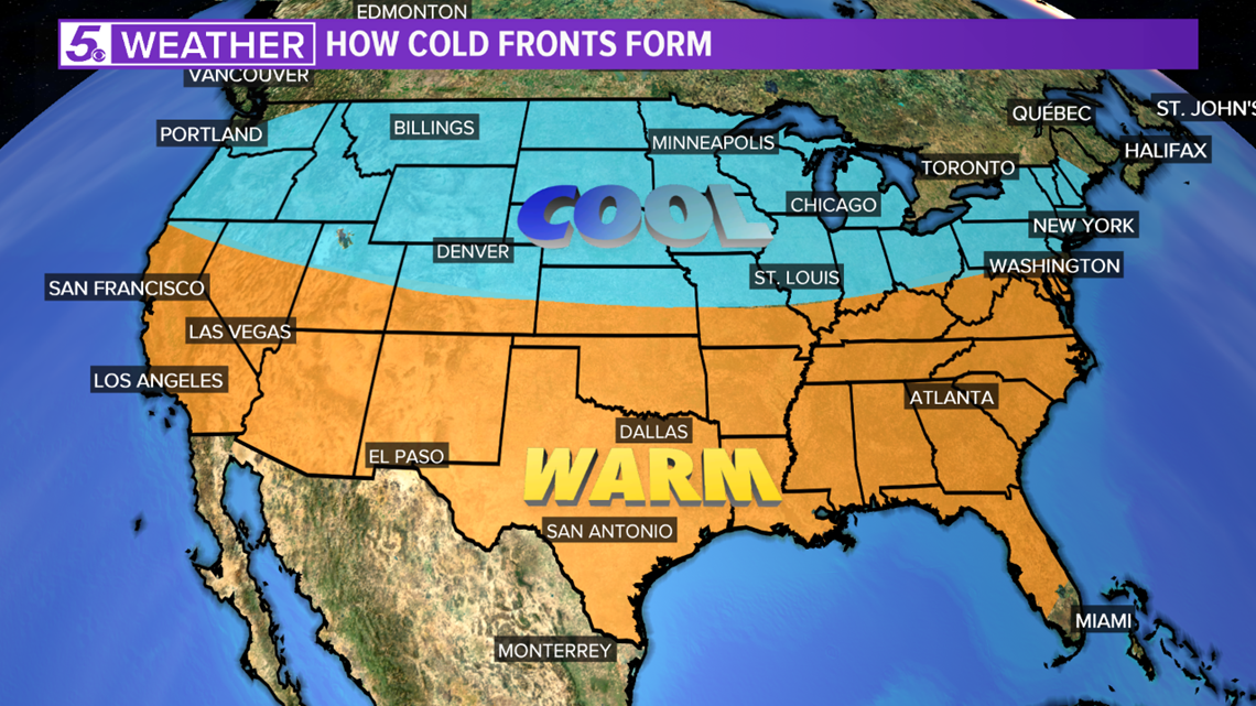
These mid-latitude cyclones form when an area of low pressure travels across the United States, spinning counter-clockwise, causing cooler air to be pulled down from the north, behind a cold front, and warmer air being pulled up from the south, ahead of a warm front.


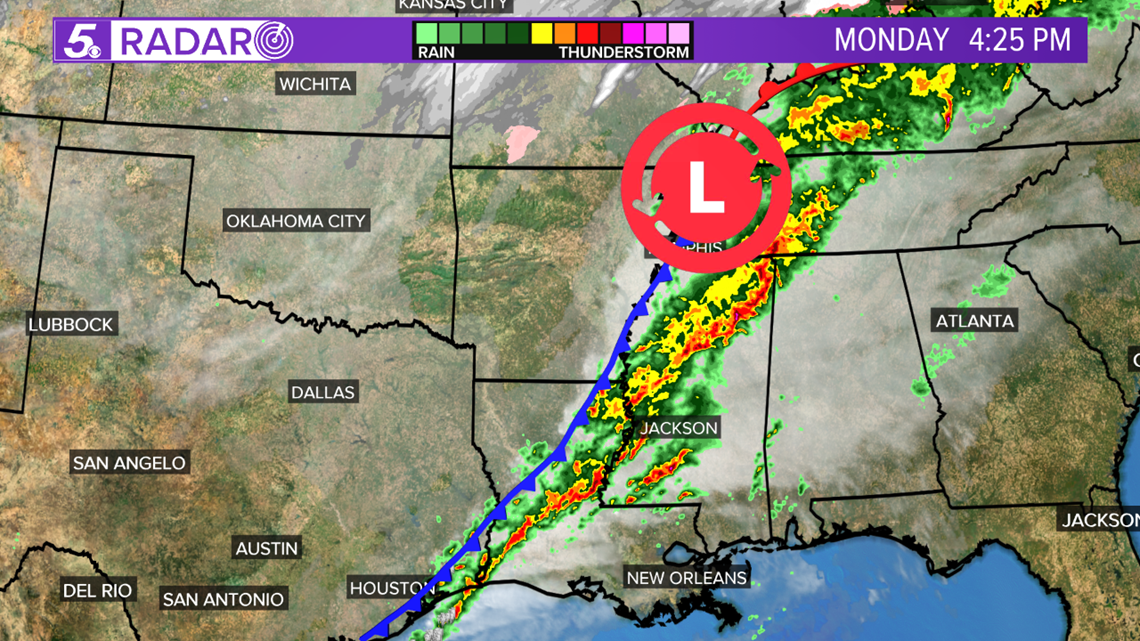
The cold air will push under warm, moist air, which is usually felt ahead of a cold front the days before it's arrival. The warm, moist air will rise as the cooler air moves under it, causing thick cloud cover, showers and sometimes thunderstorms.


The cold front that passed by early on Monday brought the thick cloud cover for our region and as it moves to the east, it has caused showers and storms in Louisiana and Mississippi.


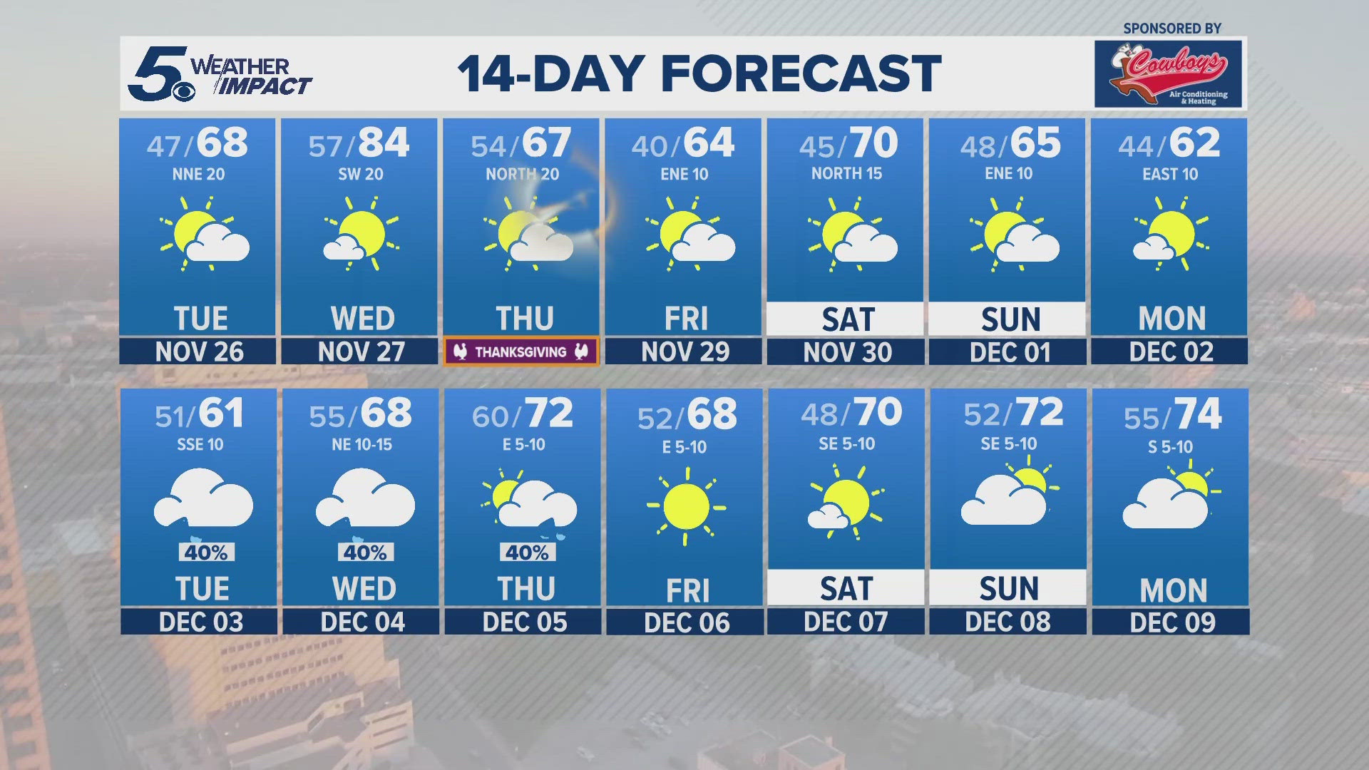
Behind the front, there is sinking, drier air, which is what we will experience for the next few days bringing lows in the 20s to 30s and highs in the 50s.
RELATED:
Don't forget you can download the KENS 5 app for the latest news and weather information each day while you are on the go.
PEOPLE ARE ALSO READING:


